Geological Mapping
Geologic mapping is a highly interpretive, scientific process that can produce a range of map products for many different uses, including characterizing mineral resources and their extraction costs; deposits management. The value of geologic map information in public and private decision been demonstrated in benefit-cost analyses to reduce uncertainty and, by extension, potential costs.
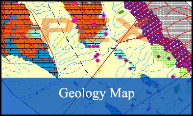
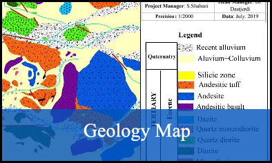
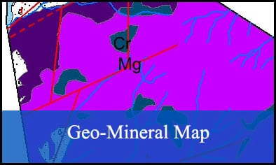
APEX will provide geological, alteration and mineralization maps with different scales through drone based tools, satellite imagery and filed by experienced staff and using the latest tools and software. Survey design and sampling will be done based on the scale and type of the map usage in various fields.
APEX will provide geological, alteration and mineralization maps with different scales through drone based tools, satellite imagery and filed by experienced staff and using the latest tools and software. Survey design and sampling will be done based on the scale and type of the map usage in various fields.


