Providing Digital Maps

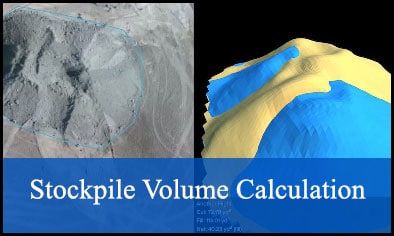
Active mine operations rely on airborne digital mapping data to effectively monitor active mining operations and fast determination of deposit’s volume and manage them.
Topographic maps help surveyors and managers figure how the lay of the land, deposits and plane of mine will factor into their projects.
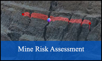
Haul roads, tailings piles, benches and pit walls can be assessed for potential geohazards.
Digital map data may help inform the development of infrastructure associated with exploration or mining. This method could also be used to understand some of the environmental considerations associated with mining activity, and to assess the availability of resources.
Digital mapping data could be integrated with ArcGIS and other software to take the guesswork out of slope stability and geohazard studies or identifying specific formations with specified slope.
Digital mapping tools improve the efficiency of mapping and support a scientist in the field with unprecedented opportunities to map where field work has been difficult before.
APEX's tools accurately represent the terrain of mining area with the following:
• Photogrammetry and mapping with UAV ( Ital Drone BIGONE 8 HSE).
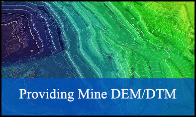
• Topographic mapping on 1:500, 1:1000 and 1:2000 scale.
• Automatic path cruiser with high stability scan position.


